






01Research activity
Geographic Information System (GIS) research by ScholarsColab researchers
What researchers combine with Geographic Information System (GIS)
Words that appear most often in these paper titles. Tap one to see those papers.
Recent focus (2023 onwards): gis-based, assessment, potential, techniques, mapping, risk.
02Researchers
PhD researchers working on Geographic Information System (GIS)
Every researcher below is registered on ScholarsColab and can be hired as a mentor or for a project. Publication counts are their papers on this topic.
 Haimanot B. AtinkutBahir Dar University6 papers on this topic · 318 citations
 SURYA PARKASH GUPTACommunity Based Disaster Risk Management Society5 papers on this topic · 2 citations
 Dr. Malik Muhammad AkhtarBalochistan University of Information Technology, Engineering and Management Sciences, Pakistan4 papers on this topic · 32 citations
 Kamran AzamThe University of Haripur2 papers on this topic · 161 citations
 Prof.Dr.R.UdayakumarDean Research , SRM UNIVERSITY2 papers on this topic · 31 citations
 Benneth OyinnaUniversity of Port Harcourt, Nigeria2 papers on this topic · 10 citations
 Dr. Mohammad Arif KamalAligarh Muslim University, India2 papers on this topic · 0 citations
 Dr. Anand PandeyAssociate Professor2 papers on this topic · 0 citations
 RRK SharmaRSSA Management Services and Research Centre1 paper on this topic · 19 citations
 Dr Prof Rajkumar RajamanickamMeenakshi Medical College Hospital & Research Institute, Kanchipuram, Tamil Nadu, affiliated to…1 paper on this topic · 19 citations
 OrkenInstitute of Information and Computational Technologies1 paper on this topic · 7 citations
 Ibrahim A. HameedProfessor1 paper on this topic · 5 citations
 KATTUPALLI SUDHAKARDEPARTMENT OF AI&DS, LAKIREDDY BALI REDDY COLLEGE OF ENGINEERING1 paper on this topic · 5 citations
 Sivaram PonnusamySandip University, Nashik1 paper on this topic · 4 citations
 TSHIBANGUA WA ILUNGA JohnCarTeS Laboratory, Department of Geography and environmental sciences, University of Lubumbashi1 paper on this topic · 4 citations
 Dr. Ajay SinghDoctorate in Food Science1 paper on this topic · 2 citationsMMuideen Adejare IsiakaC/O Abeokuta Business School, Seriki Fadare Plaza,1 paper on this topic · 0 citations
 Md Rafiur RahmanMymensingh Engineering College1 paper on this topic · 0 citations
 Dr. Markos MathewosInstitute of Technology, Hawassa University, Ethiopia1 paper on this topic · 0 citations
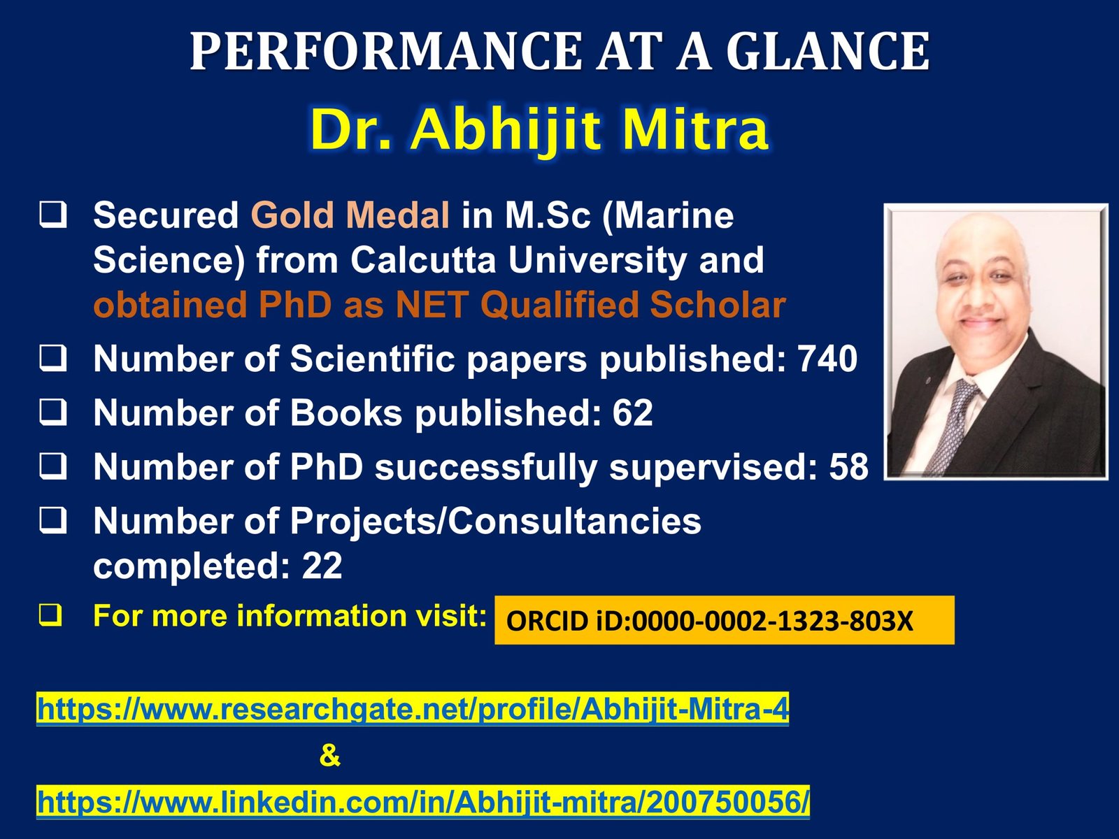 ABHIJIT MITRADirector, Research1 paper on this topic · 0 citations
 Aziza GafarovaPhD, associate professor1 paper on this topic · 0 citations
03Papers
Research papers on Geographic Information System (GIS)
- Modeling soil erosion using RUSLE and GIS at watershed level in the upper beles, Ethiopia2021183 citationsEnvironmental ChallengesHaimanot B. Atinkut
- A systematic review of the flood vulnerability using geographic information system2022141 citationsHeliyonKamran Azam
- Spatial analysis of groundwater potential using GIS based multi criteria decision analysis method in Lake Tana Basin, Ethiopia201868 citationsHaimanot B. Atinkut
- Groundwater quality evaluation of the alluvial aquifers using GIS and water quality indices in the Upper Blue Nile Basin, Ethiopia202130 citationsGroundwater for Sustainable DevelopmentHaimanot B. Atinkut
- Quantification of congestion using Fuzzy Logic and Network Analysis using GIS200327 citationsProf.Dr.R.Udayakumar
- Assess arsenic distribution in groundwater applying GIS in capital of Punjab, Pakistan201521 citationsDr. Malik Muhammad Akhtar
- A systematic review of the flood vulnerability using geographic information system. Heliyon, 8 (3), e09075202220 citationsKamran Azam
- GIS-based morphometric analysis and prioritization of Upper Ravi Catchment, Himachal Pradesh, India201919 citationsRRK Sharma
- Coastal aquaculture site selection and planning in Tamil Nadu using remote sensing and GIS199619 citationsDr Prof Rajkumar Rajamanickam
- Modeling soil erosion using RUSLE and GIS at watershed level in the upper beles, Ethiopia. Environ Challenges 2: 100009202117 citationsHaimanot B. Atinkut
- Modeling soil erosion using RUSLE and GIS at watershed level in the upper beles, Ethiopia. Environmental Challenges, 2, 100009202016 citationsHaimanot B. Atinkut
- Multicriteria GIS-based assessment of biomass energy and hydropower potentials in Nigeria202410 citationsMeasurement: SensorsBenneth Oyinna
- Spatial distribution and risk identification of arsenic contamination in water and soil through GIS-based interpolation techniques in Jianghan Plain, Central China20227 citationsFrontiers in Environmental ScienceDr. Malik Muhammad Akhtar
- Simulation modeling of the spread of harmful emissions into the atmosphere on the basis of geographic information system (GIS) of monitoring environmental condition of a …20167 citationsOpen EngineeringOrken
- Soil Erosion Rate Prediction using Adaptive Neuro-Fuzzy Inference System (ANFIS) and Geographic Information System (GIS) of Wadi Sahel-Soummam Watershed (Algeria)20195 citationsIbrahim A. Hameed
- Estimation of Erosion and Deposition of Krishna River Bank using Remote Sensing & GIS20195 citationsInternational Journal of Recent Technology and EngineeringKATTUPALLI SUDHAKAR
- GIS-based multi criteria decision analysis techniques used to identify potential groundwater recharge zones in Quetta Valley, Pakistan20234 citationsDesalination and Water TreatmentDr. Malik Muhammad Akhtar
- Crime Mapping and Hotspot Analysis: Enhancing Women's Safety Through GIS20244 citationsAI Tools and Applications for WomenSivaram Ponnusamy
- Modeling soil erosion using RUSLE and GIS at watershed level in the upper beles. Ethiopia. Environ20214 citationsHaimanot B. Atinkut
- Contributions of Remote Sensing and GIS to the Inventory and Mapping of Colonial Geodetic Markers in the Katangese Copper Belt.20244 citationsRevue Internationale De GeomatiqueTSHIBANGUA WA ILUNGA John
- Unified GIS-based machine learning method for effective forecasting of disease propagation and resistance in aquatic farming20254 citationsProf.Dr.R.Udayakumar
- Assessment of Land use/cover changes in Lower Tesua subwatershed in Chhattisgarh through Remote Sensing and GIS20172 citationsInternational Journal of Engineering and Management ResearchDr. Ajay Singh
- Land Use Pattern mapping using Remote Sensing and GIS in Gangtok area, Sikkim Himalaya, India20092 citationsSURYA PARKASH GUPTA
- ECONOMIC IMPLICATIONS OF LAND USE CHANGE IN LAGOS STATE USING GIS-BASED DATA0 citationsMuideen Adejare Isiaka
- through GIS-based interpolation techniques in Jianghan Plain20250 citationsDr. Malik Muhammad Akhtar
- Architecture Engineering and Science Industrial Land Suitability Analysis for Aligarh District Using GIS-Based Multi-Criteria Evaluation (MCE) Technique0 citationsDr. Mohammad Arif Kamal
- Industrial Land Suitability Analysis for Aligarh District Using GIS-Based Multi-Criteria Evaluation (MCE) Technique0 citationsDr. Mohammad Arif Kamal
- Assessment of the Quality of Soil and Environmental Impact for Netrokona Sadar in Mymensingh Using Satellite Imaging and Soil Mapping with GIS20240 citationsMd Rafiur Rahman
- GIS-Based Analysis of Land Use and Land Cover Change Dynamics in Boricha Catchment, Central Main Rift Valley Lakes Basin of Ethiopia20230 citationsDr. Markos Mathewos
- Geographical Information System (GIS) study of energy potential in the Federal Capital Territory (FCT), Nigeria20250 citationsBenneth Oyinna
- Estimation of Potential GHG Emissions From Biomass Burning in Northeastern Region of India Using Remote Sensing and GIS20020 citationsABHIJIT MITRA
- Seismic Zone Clustering and Risk Prediction Using AI/ML and GIS Techniques20230 citationsStructural Engineering ConventionDr. Anand Pandey
- Seismic Risk Assessment of Nagpur City Using GIS and Machine Learning Algorithms20230 citationsStructural Engineering ConventionDr. Anand Pandey
- Assessing Landslide Risk Probability in the Garhwal Himalayas, India Using a GIS-Based Bivariate Statistical Approach20240 citationsSURYA PARKASH GUPTA
- Landslide Susceptibility Assessment Due to Construction of Buildings in Garhwal Area Using GIS20200 citationsSURYA PARKASH GUPTA
- Application of GIS in the assessment of Vulnerability of developmental exercise with reference to landslides in Garhwal region of Himalaya20200 citationsgis.BusinessSURYA PARKASH GUPTA
- Landuse Pattern Mapping using Remote Sensing and GIS in Gangtok Area, Sikkim Himalaya20090 citationsSURYA PARKASH GUPTA
- Assessment of influence of groundwater dynamics on meliorative condition of irrigated territories on base of GIS case study of Karasuv river basin20250 citationsAziza Gafarova
04Journals
Journals that publish Geographic Information System (GIS) research
Where our researchers published their papers on this topic, with each journal’s indexing.
| Journal | Indexing | Impact factor* | Papers |
|---|---|---|---|
| Structural Engineering Convention | Not listed in our indexing lists | – | 2 |
| Frontiers in Environmental Science | SCIEScopusJCR 2024 | 5.02 Q2 | 1 |
| Desalination and Water Treatment | SCIEScopusJCR 2024 | 8.70 Q1 | 1 |
| Heliyon | SCIEScopusJCR 2024 | 9.51 Q1 | 1 |
| International Journal of Engineering and Management Research | Not listed in our indexing lists | – | 1 |
| International Journal of Recent Technology and Engineering | Scopus | 0.56 | 1 |
| Measurement: Sensors | Scopus | 3.95 | 1 |
| Open Engineering | ESCIScopusJCR 2024 | 2.93 Q2 | 1 |
| AI Tools and Applications for Women | Not listed in our indexing lists | – | 1 |
| gis.Business | Scopus | 0.00 | 1 |
| Environmental Challenges | Scopus | 5.23 | 1 |
| Groundwater for Sustainable Development | ESCIScopusJCR 2024 | 8.16 Q1 | 1 |
| Revue Internationale De Geomatique | ESCIJCR 2024 | 2.03 Q3 | 1 |
*Impact factor and quartile calculated from OpenAlex open data where available; official Journal Impact Factors are published by Clarivate. Indexing from the SCIE, SSCI, AHCI, ESCI, Scopus and JCR 2024 lists. Find the right journal for your own paper →
05Top 2% scientists
World’s Top 2% scientists in Information Systems
The Stanford/Elsevier World’s Top 2% Scientists list ranks researchers by a composite citation indicator. Information Systems is the research subfield closest to Geographic Information System (GIS) in that list; 400 researchers from 31 countries are listed in it.
| Researcher | Institution | Country | World rank |
|---|---|---|---|
| Venkatesh, Viswanath | Virginia Polytechnic Institute and State University | United States | 272 |
| Davis, Fred D. | Texas Tech University | United States | 791 |
| Orlikowski, Wanda J. | MIT Sloan School of Management | United States | 2,712 |
| Shin, Donghee | Texas Tech University | United States | 3,466 |
| Dwivedi, Yogesh K. | King Fahd University of Petroleum and Minerals | Saudi Arabia | 3,492 |
| Kock, Ned Florencio | Texas A and M International University | United States | 3,871 |
| Banker, Rajiv D. | Fox School of Business | United States | 4,263 |
| Grover, V. | University of Arkansas | United States | 5,310 |
| Brynjolfsson, Erik | Stanford University | United States | 5,881 |
| Pavlou, Paul A. | Miami Herbert Business School | United States | 6,260 |
| Straub, Detmar W. | Temple University | United States | 6,337 |
| Gefen, David | Drexel University | United States | 7,249 |
Source: Elsevier Data Repository, Ioannidis et al., 2026 edition, citations to the end of 2025 (career-long ranking). ScholarsColab is not affiliated with Stanford University or Elsevier, and the researchers listed are not ScholarsColab mentors unless marked so above.
06Related topics
Topics related to Geographic Information System (GIS)
Topics that share the most papers with Geographic Information System (GIS) in our researchers’ work:
- Soil Erosion12 papers · 4 researchers
- Remote Sensing50 papers · 42 researchers
- Himalaya33 papers · 8 researchers
- Groundwater57 papers · 19 researchers
- Interpolation11 papers · 10 researchers
- Territories34 papers · 10 researchers
- Biomass90 papers · 45 researchers
- Machine Learning (ML)1,348 papers · 424 researchers
07Questions
Frequently asked questions
What do researchers study in Geographic Information System (GIS)?
In papers by ScholarsColab researchers, Geographic Information System (GIS) appears most often together with gis-based, soil, ethiopia, remote, sensing, assessment. Work since 2023 focuses most on gis-based, assessment, potential, techniques.
Who works on Geographic Information System (GIS) research?
21 PhD researchers on ScholarsColab have published on Geographic Information System (GIS) (38 papers), including Haimanot B. Atinkut, SURYA PARKASH GUPTA, Dr. Malik Muhammad Akhtar. Each has a public profile with their Google Scholar publications, and you can hire them as a mentor or for a research project.
Which journals publish Geographic Information System (GIS) research?
Our researchers published their Geographic Information System (GIS) papers in 13 journals, most often in Structural Engineering Convention, Frontiers in Environmental Science, Desalination and Water Treatment, Heliyon. The journal table on this page shows the indexing of each one (SCIE, Scopus, ESCI).
How many research papers on Geographic Information System (GIS) are on ScholarsColab?
38 papers published between 1996 and 2025, cited 619 times in total (median 4 citations per paper). The list updates automatically as researchers join and publish.
Can I hire a PhD expert in Geographic Information System (GIS) for my thesis or paper?
Yes. Open any researcher profile on this page to see their publications, then post your project or hire them directly. For a paper you have already written, a Manuscript Audit by a reviewer in Geographic Information System (GIS) shows what to fix before you submit, and Journal Selection shortlists up to five journals that match it.
Need a PhD expert in Geographic Information System (GIS)?
Hire a researcher who has published on this topic to guide your thesis or project, or get your manuscript audited and matched to the right journal before you submit.